
Monitoring the ash disposal site of the thermal power plant using remote sensing technology
30/09/2023TN&MTResearchers of the National Remote Sensing Department have successfully researched and applied remote sensing technology in monitoring a number of environmental parameters in a thermal power plant, and at the same time developed and proposed suitable technologies to monitor PM10, PM2.5 pollution in the air, temperature and suspended solid content in water and fluctuations in ash disposal site and its cover at the area of the thermal power plant.
According to Mr. Chu Hai Tung, project leader, remote sensing technology, with a focus on exploiting information from satellite images, is a modern technology industry that has been widely applied around the world and in Vietnam. The most outstanding advantages of remote sensing compared to traditional research methods are providing objective, truthful information on a large scale, it is diverse with many different spectral channels from visual, infrared, thermal infrared to ultra-high frequency (radar). Remote sensing satellites can repeatedly take pictures at a location on the Earth's surface at certain intervals, so they are very effective for regularly monitoring fluctuations in objects on the surface.

Monitoring ash disposal site of thermal power plants using remote sensing technology
Based on the advantages of remote sensing technology, the project team used a method to estimate dust content using atmospheric reflectance values, especially the aerosol optical thickness (AOT) extracted from remote sensing images combined with monitoring and measurement data, which allows determining PM10, PM2.5 in the air at the areas of thermal power plants and surrounding areas. Accordingly, the aerosol optical thickness parameter calculated from Landsat 8 and Sentinel 2 remote sensing images is highly correlated with dust content (70 - 80%), so it can be used as an indirect index to evaluate the level of dust pollution in the air.
Along with that, analyzing and interpreting information about surface cover on multi-temporal remote sensing images allows objectively and accurately monitoring cover changes in research areas.
Based on research results, the research team has developed and proposed appropriate technological processes to monitor PM10, PM2.5 pollution in the air, temperature and suspended solid content in water and fluctuations in ash disposal sites and their covers in the areas of the thermal power plants using remote sensing image data, specifically medium resolution remote sensing images Landsat 8 OLI/TIRS and Sentinel 2. The proposed technological processes have been applied on a trial basis in two areas where many thermal power plants are being built and operated, Quang Ninh and Vinh Tan (Binh Thuan), and have proven to be highly effective and feasible and suitable for Vietnam's conditions.

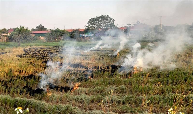
Dangers of ash and slag being freely discharged into the environment
Experimental results show that the use of remote sensing technology is very effective in determining the changed area, the level of change and partly the change trend of each monitored object around the thermal power plant. Using multi-temporal remote sensing image data to interpret the object of ash disposal site as well as objects surrounding the thermal power plant combined with ArcGIS Pro mapping software is relatively simple and quite quickly, if being invested and widely applied, it will save effort and time, and the results obtained are equivalent to, or better than, traditional methods of field measurement and statistics.
The project results have confirmed the usefulness of remote sensing technology, especially satellite image data, which allows quickly, objectively and reliably tracking and monitoring environmental factors in areas of thermal power plants in the large scale.
The Department of National Remote Sensing recommends that the Ministry of Natural Resources and Environment should quickly deploy the application of remote sensing technology to monitor environmental pollution in areas of thermal power plants; continue promoting the expansion of research and application of remote sensing technology in the direction of integrating different types of images and other additional data, including meteorological information such as temperature, humidity, and wind to improve models, increase the accuracy of monitoring of environmental factors in general and in the areas of thermal power plants.
Along with that, it is necessary to continue promoting monitoring, measurement, and data collection in the field to develop large data sets that reflect the current environmental situation in monitoring areas over time and in different conditions. From there, more comprehensive and accurate models can be established to improve the results of calculating environmental parameters.
Bảo Trâm
Post Related

Enhancing Vietnam-UN cooperation in disaster prevention and response
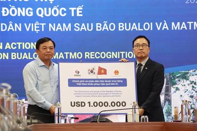
USD 9.7 million in international aid to be delivered to Vietnamese people in November
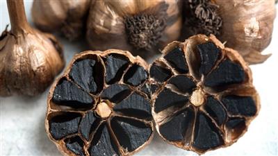
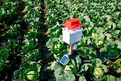
Development of an automatic black garlic fermenter: A Vietnamese innovation

Fuel-less flywheel power generation technology: A new pathway for Vietnam’s energy self-reliance
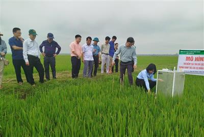
Rice carbon credits: A green revolution in the fields
Promoting Viet Nam-South Africa agricultural trade cooperation
Strengthening cooperation between Vietnam and IFAD towards green, low-emission agricultural development
Science, technology and innovation: The key to green growth and low-emission development