
Japan shares flood risk maps with Vietnam for safer communities
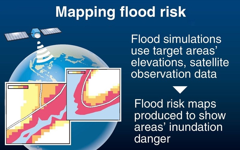
12/05/2024TN&MTAccording to the Yomiuri Shimbun, Japan’s Ministry of Land, Infrastructure, Transport and Tourism plans to extend its provision of flood risk maps to Vietnam, Indonesia, Thailand and Cambodia in the upcoming fiscal year. The goal is to assist these Southeast Asian nations in mitigating damage from floods by utilizing satellite observation data to predict heavy rainfall-induced flooding.
This initiative is part of Japan's broader strategy to enhance its engagement with emerging and developing countries, collectively referred to as the Global South.
Already producing flood risk maps for various regions in Japan, the Ministry provides detailed information on the frequency and depth of inundation caused by floods. These maps, based on ground observation data such as rainfall gauges, assess the risk of inundation from heavy rainfall occurring every 10, 30, 50, 100, and 150 or 200 years, aiding in evacuation planning and community development.
Given the frequent occurrence of large-scale flooding in the targeted Southeast Asian countries, the Ministry recognized the necessity for similar maps to indicate flood risks in specific areas. To address the lack of sufficient ground-based observation data in these nations, the Ministry will utilize simulation data from the Global Satellite Mapping of Precipitation (GSMaP) system, operated by the Japan Aerospace Exploration Agency and others.
Discussions with the four countries began in fiscal 2023 to identify target areas, with plans to deliver prototype maps to each nation by the end of fiscal 2025. Alongside creating guidelines for map creation, the Ministry will conduct training programs to develop local expertise.
Ngoc Huyen (The Yomiuri Shimbun)
Post Related
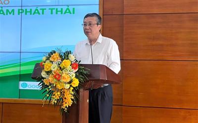
Finalizing the low-emission crop production plan amid Vietnam’s Net Zero commitment
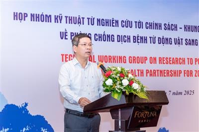
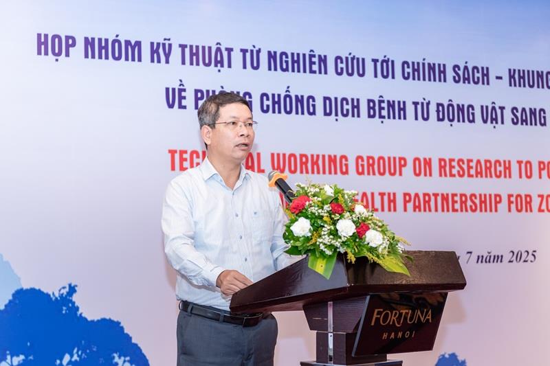
Bridging science and policy: Vietnam advances One Health governance
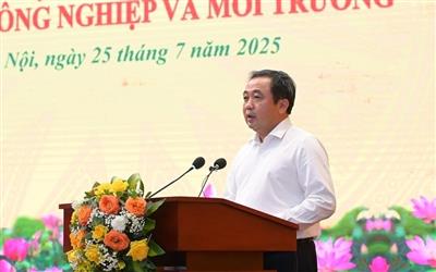
Driving green transformation: Vietnam’s agriculture and environment sector charts a new course for sustainable and inclusive growth
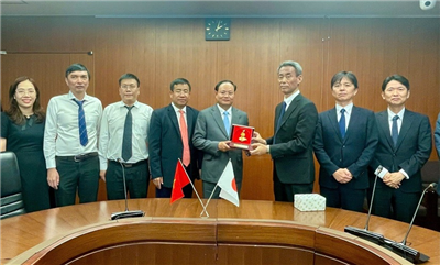
Deputy Minister Le Minh Ngan discusses land administration with Japan: Strengthening bilateral cooperation
Circular economy model: Benefits for businesses and the environment

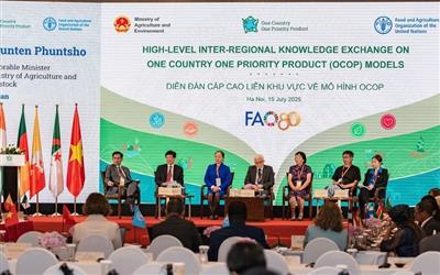
OCOP - A Vietnamese model for modern rural development: Bridging indigenous values with global markets
Prime Minister assigns Mr. Tran Duc Thang as Acting Minister of Agriculture and Environment
The Agriculture and Environment Magazine affirms its role as a leading scientific and media institution